2020
Categories
Type of resources
Available actions
Topics
Provided by
Years
Formats
Representation types
Update frequencies
status
Service types
Scale
Resolution
-

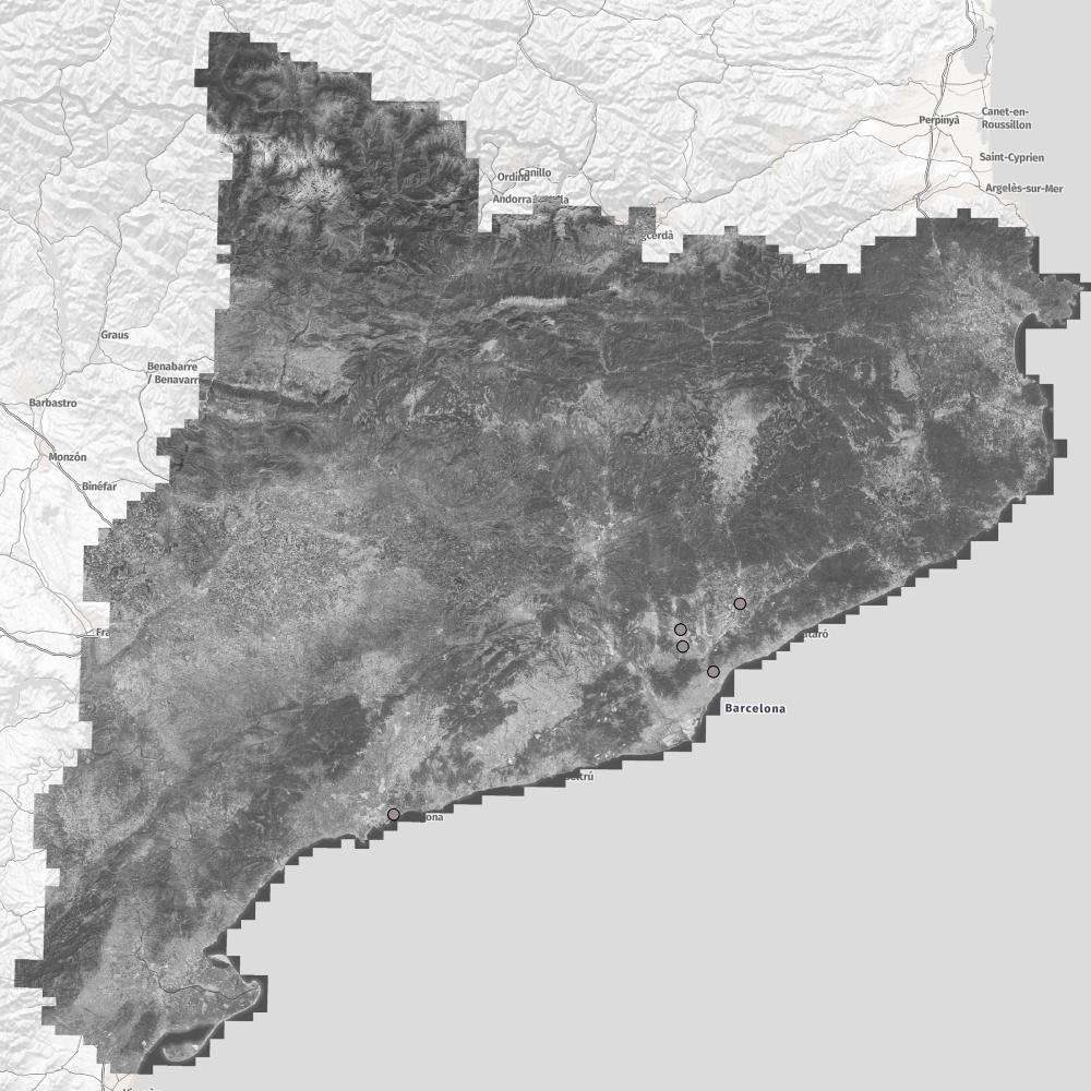
The orthophoto is a cartographic document that consists of a vertical aerial image which has been rectified in such a way that the same scale is kept in the entire surface of the image, being a geometric representation on scale of the terrestrial surface. It is a orthophoto with a resolution of 25 cm generated from images with a pixel resolution variable according to the zones. The color orthophoto (OF-25C) provides information about the visible area of the electromagnetic spectrum. Shows the combination of RGB bands that correspond to the Red, Green and Blue channels, a combination called "natural color".
-

INSPIRE production and industrial facilitiesce of the Barcelona Provincial Council.
-

INSPIRE electricity network (street lighting) of the Barcelona Provincial Council.
-
Street Directory Arbúcies is a dataset represented on a map in PDF format. You can identify the locations of places of interest and equipment and services, as well as the street nomenclator. In addition, it also contains web addresses and telephone numbers of interest and the dates of the fairs and festivals of the municipality.
-
The Municipal Urban Planning Plan (POUM) of Sant Aniol de Finestres is the cartographic instrument of urban planning of the municipality that directs the development of the municipal territory. The geographical information set of the POUM of Sant Aniol de Finestres is made up of multiple information and planning plans, all in PDF format. The planning areas of the municipality defined by the POUM plans are: Soil classification (Sant Aniol de Finestres and Sant Esteve de Llémena), Mobility system (Sant Aniol de Finestres and Sant Esteve de Llémena), System of free spaces and facilities , Hydraulic system (Sant Aniol de Finestres and Sant Esteve de Llémena), Open space system (Sant Aniol de Finestres and Sant Esteve de Llémena), Uses and management, Landscape units (Sant Aniol de Finestres and Sant Esteve de Llémena), Derived planning, management of the Sant Aniol water plant, management of Las Carreras, uses and management (Sant Aniol de Finestres and Sant Esteve de Llémena) and network diagram.
-

Es mostren els municipis metropolitans que han aprovat una declaració d'emergència climàtica municipal amb objectius de reducció de CO2 i de neutralitat de carboni.
-
Street directory of Dosrius is a set of data regarding the location of services and facilities in the municipality. Map data is represented in a viewer, on an OpenStreetMap map background. The points identified in this data set correspond to: facilities, companies and shops, entities and associations, hotels and places of interest. For each point, the name of the place or establishment, the postal address, an image, and an external link are displayed interactively; if applicable.
-
The Porqueres Civil Protection Plan aims to be the organic framework that coordinates the actions and response of the Public Services aimed at the attention and response to emergencies within the municipality. The set of geographical information of Porqueres Civil Protection Plan consists of five files: Forest fire risk, snowfall risk, flood risk, earthquake risk and form for disseminated incidents.
-

Són espais públics de participació i convivència oberts a tothom, amb la missió principal de vertebrar la comunitat per afavorir la cohesió social, l’equitat, l’arrelament i el sentiment de pertinença al país i promoure la transmissió de valors cívics i comunitaris que permetin la millora de la qualitat de vida dels ciutadans i les ciutadanes mitjançant un conjunt de serveis i recursos a l’abast de tota la comunitat
-

El lleure actiu gitano és una eina de treball amb els joves perquè es reincorporin a l’educació, a la formació en cas necessari o per introduir-los al mercat laboral, mitjançant el concepte d’inclusió activa
 Catàleg IDEC